|
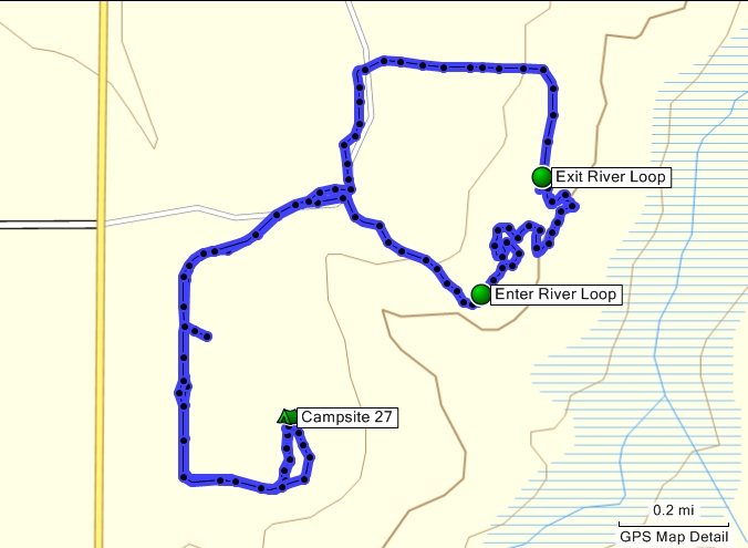
My original intent was to do the River Loop Trail but it ended up being late in the day and I just did not have the energy. Did a little bit of it then followed the essentially flat Multi-Use Trail. I'll go back later this week, I think.
Still managed to get in about four miles of a bike ride and took some pix of the osprey nest in the power lines.
Go here for photos and another perspective using TopoFusion.
DeLorme Florida : 92 b1
Topo Map
Vertical Profile
Google Map
Book References
Download POIs for Start and Finish and nearby Campground
Topo or Street Map

Vertical Profile

BookReference
There is no book for this adventure.
Download MapSource.gdb
Download Fusion.gpx
|

