|
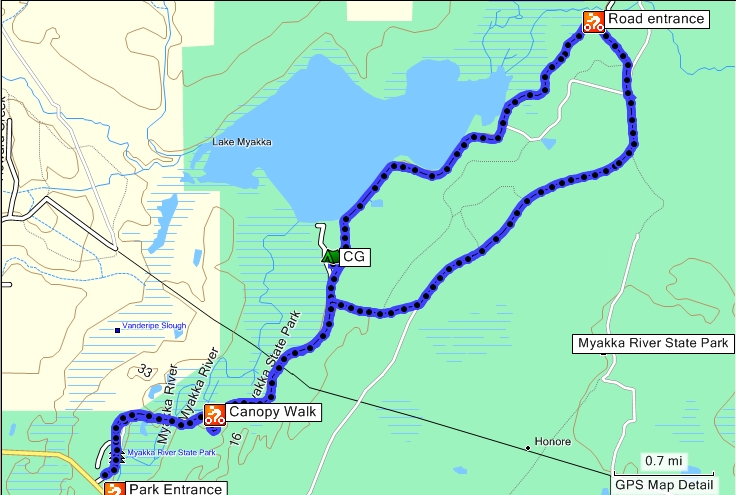
The Canopy Walk is neat. You start by climbing a couple of flights of stairs to one end of a small suspension bridge. The bridge takes you through the forest at treetop level where you can see the plants at the top instead of the bottom.
At the end of the bridge you climb an 80 foot tower that provides a view of the park for miles.
After leaving the canopy area I took Ranch House Road to Fox's High Road and then back to the paved road. These wound through a mostly open area. Did not see much wildlife, only an armadillo, since it was the middle of the day. Then, when I was almost back to the campground I saw some people looking at a hawk which flew to another branch. He let me shoot pictures and get fairly close but I never got him in flight.
Go here to see all the pictures.
DeLorme Florida : 97 b3
Topo Map
Vertical Profile
Google Map
Book References
Download POIs for Start and Finish and nearby Campground
Topo or Street Map

Vertical Profile

I left the profile in because it shows the canopy elevation. It also points out one of the difficulties with recording elevation: barometric pressure changes over the course of the day. When I left the campground the elevation was 16 feet, when I returned it was 33 feet. My camping neighbors said they didn't feel a thing!
BookReference

Paddler's Guide to the Sunshine State, by Sandy Huff. What's a paddling book doing here? It has some useful information about the park.
Download MapSource.gdb
Download Fusion.gpx
|


